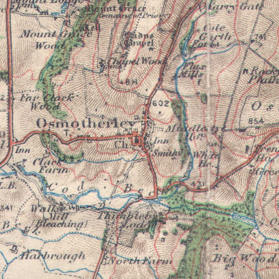
Osmotherley in 1914

OS map showing Osmotherley in 1914.
Crown Copyright in the map expired in 1964.
Location
Grid Reference: SE 455 975
Map
 Osmotherley is on Ordnance Survey Explorer Map OL26 (North Yorks Moors Western Area)
Get it from 


 Osmotherley is on Ordnance Survey Explorer Map OL26 (North Yorks Moors Western Area)