|
|
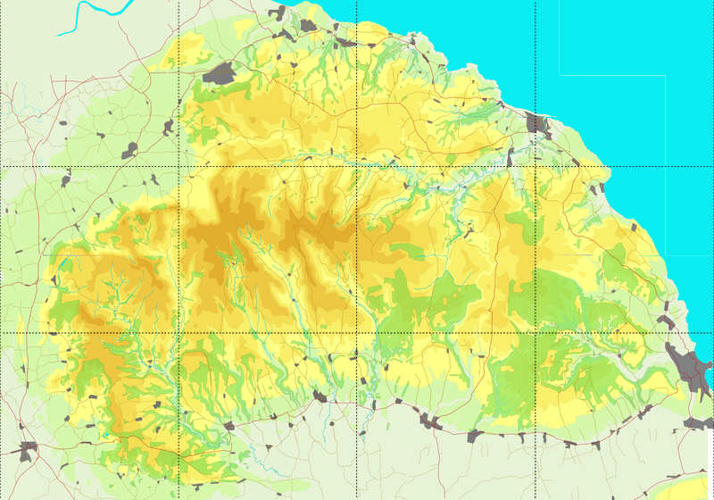
These maps are based on the 1914 OS one inch to one mile maps. These provide all of the contours, place names, 99% of the roads and the vast majority of public rights of way, which in many places were based on routes shown on just such maps. The vast majority of new forests on the moors also follow pre-existing boundary lines, many marked on these maps.
As I continues to walk the moors, I will be noting areas where the rights of way are no longer reflected on the ground or the paths have shifted significantly across the ground.