Clay Bank
Car Park
Description
Clay Bank Car Park sits just below the top of the pass occupied by the B1257. It is an ideal starting place for walks on the high moors to the east or the Cleveland Hills to the west.
Location
Grid Reference: NZ572035
Just to the north of the Cleveland way, just below the top of the climb from Stokesley on the B1257.
Local Features
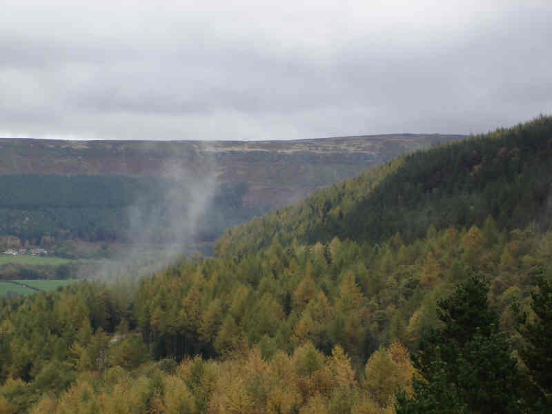
The main feature of Clay Bank is the view. White Hill looms behind you, cloaked in forests with a ring of distant cliffs behind the trees, while to the east the northern escarpment of the moors disappeared away to the coast, with
Roseberry Topping prominent, while to the north the flat plain of the River Tees recedes into the dim and smoky distance.
Map
 Clay Bank is on Ordnance Survey Explorer Map OL26 (North Yorks Moors Western Area)
Get it from 