This walk is unusual in that it requires access to Mount Grace Priory, a National Trust property, so it is best suited to NT members or someone who is planning to visit the priory anyway. If the Priory is not open the only way around it is an awkward scramble through the overgrown woods behind, not to be recommended. (see the National Trust website for opening times).
After visiting the priory we continue on into Mount Grace Woods, and then climb up onto Beacon Hill before returning to the village.
Ascent: 800ft
Length: 4.2 miles
Map:
Last Walked:
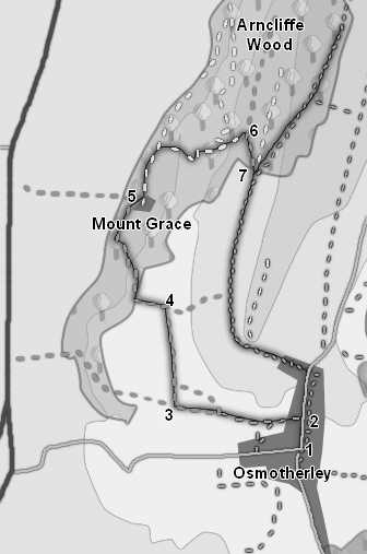
We start from the centre of Osmotherley
Enter the Priory through the public entrace, in a house built along the western edge of the Priory. Our route onwards lies in the north-west corner of the site - from the entrance turn right and pass between the new buildings and the older ruins to enter a grassy area. At the far end a square area is hedged off - head to the left of this area, where a gate leads into the Forestry Commission managed woods (explore the Priory before heading on).
Once through the gate follow the forest track for a short distance, then turn right onto another forestry track that climbs up through the woods. Follow this track as it twists from side-to-side through the trees, always keeping on the upwards track.
Here there is a choice of options. The direct route back to Osmotherley lies along the southern track, which emerges from the trees and heads south, curves around the southern end of Ruebury Hill and reaches the road north from Osmotherley, where we turn south to return to the village.
The second option takes us up onto Beacon Hill. This is a great viewpoint, looking out south towards the Hambleton Hills and east towards the high moors. To visit Beacon Hill turn left onto the signposted footpath (the Cleveland Way) that climbs up quite steeply onto the hill top (ignore the forest track that runs north, level, into the woods). Follow this path through the woods and onto open ground at the top of the bank.
There is now a second choice to be made. Either walk as far as you want and then turn back to head into Osmotherley on the route described above, or continue past the trig point at the top of the hill, then turn sharply to the right onto the lane that runs south back down Beacon Hill and Swinestye Hill back onto the road north of the village.